

Carte topographique Cochrane
Cliquez sur la carte pour afficher l’altitude.
Cochrane
Cochrane is situated at the base of Big Hill in the Bow River Valley. It sits at an elevation of 1,186 m (3,891 ft). The town is intersected by Highway 1A and Highway 22. Cochrane has a reputation for its western culture, which can easily be felt when one wanders the streets (particularly Main Street). The town is a popular destination for ice cream and coffee in its quaint western-oriented stores as well as for windsports, golfing, hiking and other adventure activities.
À propos de cette carte
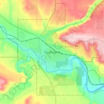
Nom : Carte topographique Cochrane, altitude, relief.
Lieu : Cochrane, Town of Cochrane, Alberta, T4V 2A7, Canada (51.14746 -114.51107 51.22746 -114.43107)
Altitude moyenne : 1 205 m
Altitude minimum : 1 100 m
Altitude maximum : 1 352 m